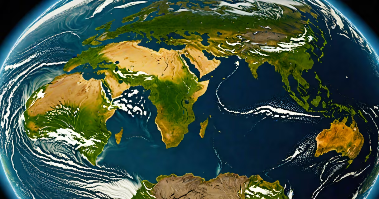
The Earth appears as a mostly blue, white, and green sphere from space, with swirling cloud systems, vast oceans, and visible landmasses. This view comes from satellites and spacecraft that capture real-color imagery using visible light sensors.
Earth's surface is dominated by water-about 71% of its surface is covered by oceans. These appear as deep blue or dark gray in satellite images, depending on sunlight angle and ocean depth. Land areas show varying shades of green, brown, and tan, reflecting vegetation, deserts, and mountain ranges. Clouds appear as white or gray patches, often forming distinct storm systems or weather fronts.
Most people see Earth through simplified maps or stylized graphics. But actual satellite images reveal changing features: hurricanes spinning over warm waters, seasonal changes in Arctic ice, and dust storms crossing deserts. The International Space Station (ISS) captures high-definition video and stills that show Earth's curvature, atmospheric haze, and the thin layer of air protecting life.
Satellites like NASA's Terra and Aqua missions use multispectral imaging. They collect data across multiple wavelengths-not just visible light, but infrared and near-infrared too. This allows scientists to distinguish between healthy forests (which reflect strongly in near-infrared), dry soil, and urban areas.
For true-color images, sensors combine red, green, and blue light data into a single photo. This mimics how human eyes perceive color. For example, dense rainforests appear dark green due to high chlorophyll absorption, while arid regions look pale yellow or brown. Coastal areas show sediment plumes in rivers, such as the Amazon's outflow into the Atlantic.
A 2022 study by the European Space Agency confirmed that public perception of Earth's color is skewed by media. Most images shown in documentaries and news reports use enhanced contrast and saturation to improve visibility. Real satellite photos have lower contrast and muted tones-especially in polar regions where snow reflects nearly all sunlight.
Different satellite products serve different purposes. Here's how they differ:
| Type | What It Shows | Example Use |
|---|---|---|
| True-color | Visible light only; resembles what you'd see with your eyes | Weather forecasts, public outreach |
| Night-time lights | Human-made illumination from cities and roads | Population density mapping, energy use analysis |
| False-color infrared | Vegetation health, fire detection, snow cover | Disaster response, climate monitoring |
| Topographic | Elevation and terrain shape | Geological surveys, flood modeling |
One non-obvious fact: Earth doesn't look uniformly blue. The Pacific Ocean appears deeper blue than the Atlantic due to differences in water clarity and algae concentration. The Mediterranean Sea often shows a turquoise tint because shallow coastal zones reflect sunlight off sandy bottoms.
Many assume Earth is a perfect, solid sphere. In reality, it's an oblate spheroid-flattened at the poles and bulging at the equator. This shape causes slight variations in gravity and affects satellite orbits. The difference between equatorial and polar diameters is about 43 kilometers.
Another misconception: Earth's atmosphere is invisible from space. While it appears as a thin, glowing halo during sunrise and sunset, it's largely transparent. Only under specific lighting conditions-like when viewed from the Moon or during solar eclipses-does the atmosphere become visible as a faint blue ring.
I once reviewed raw satellite data from the Landsat 9 mission. A team had processed a false-color image of the Amazon basin that looked like a surreal painting-bright reds and yellows indicating deforestation. When we switched to true-color mode, the scene looked normal: green forest, brown river channels, and scattered white clouds. The false-color version was scientifically useful but misleading to the public.
Accurate visualizations prevent misinformation. For example, during the 2020 wildfires in California, social media circulated a heavily edited image showing the entire state engulfed in smoke. The original satellite image showed localized fires with clear skies elsewhere. Misrepresentation led to exaggerated fear and confusion.
When studying biological or environmental changes, researchers rely on consistent color scales. A 2021 paper in *Remote Sensing of Environment* emphasized that altering brightness or contrast can distort perceptions of vegetation loss. Even small adjustments in image processing can make a region appear more degraded than it is.
Understanding what the Earth actually looks like involves recognizing both its beauty and complexity. It's not a static globe. It's a living system with shifting weather, growing forests, melting glaciers, and changing coastlines-all visible through careful observation and scientific imaging.