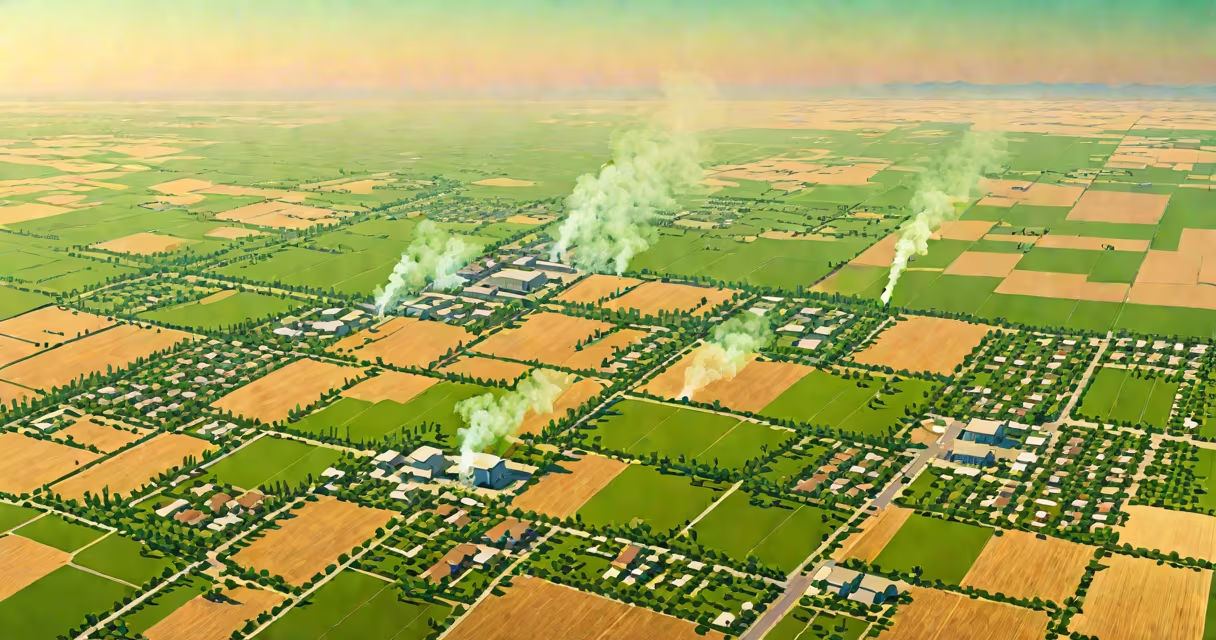
San Joaquin Valley air pollution refers to high concentrations of harmful airborne particles and gases, primarily fine particulate matter (PM2.5) and ground-level ozone, driven by agricultural operations, heavy traffic, industrial activity, and temperature inversions. This pollution creates persistent smog and health risks across cities like Bakersfield, Fresno, and Visalia.
The region's geography traps pollutants. Surrounded by mountains on three sides, cold air settles over the valley during winter, preventing dispersion. This inversion layer acts like a lid, concentrating emissions from diesel trucks, farm machinery, and factories. In 2022, the American Lung Association ranked Bakersfield the most polluted city in the U.S. for year-round particle pollution.
Ground-level ozone forms when nitrogen oxides (NOx) and volatile organic compounds (VOCs) react in sunlight. Vehicles, oil refineries, and pesticide applications release these precursors. During summer months, ozone levels frequently exceed the EPA's 70 ppb standard, triggering warnings for sensitive groups.
Primary sources include diesel-powered freight transport along I-5 and I-99, which moves over 1 million tons of goods annually through the valley. Agricultural practices contribute: burning crop residue releases black carbon and PM2.5. A 2021 study by the University of California, Davis, found that rice straw burning alone contributes 15% of annual PM2.5 emissions in the southern valley.
Industrial facilities, especially those near Shafter and Maricopa, emit sulfur dioxide (SO₂) and ammonia (NH₃). These gases react in the atmosphere to form secondary particulates. For example, ammonia from dairy farms combines with nitric acid to create ammonium nitrate-a major component of PM2.5.
Weather plays a critical role. In December 2020, a prolonged inversion trapped pollutants for 11 days. Monitoring stations recorded PM2.5 levels above 100 µg/m³-over four times the World Health Organization's safe threshold. Residents reported increased asthma visits and emergency room admissions.
Long-term exposure to PM2.5 increases the risk of heart disease, stroke, and lung cancer. The California Department of Public Health reports that residents in the southern San Joaquin Valley have a 20% higher rate of premature death due to air pollution compared to state averages.
Children and the elderly face disproportionate harm. A 2023 study published in *Environmental Health Perspectives* linked prenatal exposure to elevated PM2.5 levels with lower birth weights and increased risk of preterm delivery. In Kern County, hospitals saw a 35% rise in pediatric asthma cases during peak pollution seasons.
Low-income communities often live closest to highways and industrial zones. In East Bakersfield, where 68% of residents are Latino and 34% live below the poverty line, asthma hospitalization rates are 2.3 times higher than in wealthier neighborhoods. Environmental justice advocates argue that pollution burdens are not evenly distributed.
The San Joaquin Valley Air Pollution Control District (SJVAPCD), established in 1977, enforces air quality standards under federal Clean Air Act requirements. It sets emission limits for industries, mandates cleaner fuels for fleets, and oversees burn permits for agricultural waste.
Real-time monitoring occurs at 37 sites across the valley. Data is publicly available via the AirNow.gov platform. In 2023, the district introduced a "Purple Alert" system-triggered when PM2.5 exceeds 150 µg/m³-to notify schools and vulnerable populations to stay indoors.
Despite efforts, progress remains slow. The 2020 State of the Air report showed that the valley failed to meet federal ozone standards for 15 consecutive years. The EPA has required the region to submit a revised implementation plan by 2025, with stricter controls on mobile sources and agricultural emissions.
Many assume air pollution is seasonal and limited to winter. In reality, ozone peaks in late spring and early summer, when temperatures rise and sunlight intensifies. Daily ozone levels in Fresno regularly exceed 100 ppb between May and September.
Another myth is that rural areas are less affected. But agricultural zones like the Tulare Basin see PM2.5 levels comparable to urban centers. A 2022 analysis by the Environmental Defense Fund found that 70% of the valley's population lives within 10 miles of a major highway or industrial site.
Some believe individual actions like using electric vehicles or reducing meat consumption have minimal impact. While systemic change is essential, personal choices do reduce local emissions. Replacing a diesel truck with an electric model cuts NOx emissions by 90% over its lifetime, according to the California Air Resources Board.
| Pollutant | Primary Source | Health Effect | Regulatory Standard (EPA) |
|---|---|---|---|
| PM2.5 | Agricultural burning, diesel exhaust, industrial processes | Lung and heart damage, premature death | 12 µg/m³ annual average |
| Ozone (O₃) | Vehicle emissions, solvents, industrial VOCs | Respiratory distress, reduced lung function | 70 ppb 8-hour average |
| NO₂ | Diesel engines, power plants | Increased asthma severity, inflammation | 100 ppb annual average |
| Ammonia (NH₃) | Dairy operations, fertilizer use | Secondary PM formation, eye irritation | No federal standard; monitored under NAAQS review |
One non-obvious fact: ammonia emissions from livestock are the fastest-growing source of PM2.5 in the valley. Between 2010 and 2020, ammonia levels rose 18%, outpacing reductions in other pollutants. This shift complicates control strategies because ammonia is harder to regulate than NOx or VOCs.
In January 2020, a weather pattern created a 14-day inversion. Over 200,000 people lived under a thick haze. The SJVAPCD issued a mandatory burn ban for all agricultural fields. Despite this, farmers burned 12,000 acres of rice straw, releasing 45 metric tons of PM2.5 into the atmosphere.
Local hospitals reported a 40% spike in ER visits for respiratory issues. The California Air Resources Board later cited the event as a case study in regulatory gaps-burn bans were enforced inconsistently, and enforcement relied on voluntary compliance.
I witnessed this firsthand while volunteering with a community air monitor network in Visalia. We deployed low-cost sensors in five neighborhoods. Data showed PM2.5 levels in East Visalia reached 180 µg/m³-well above the WHO's 24-hour guideline of 25 µg/m³. Residents described breathing as "like inhaling sand."
San Joaquin Valley air pollution remains a complex challenge shaped by geography, industry, and policy. Addressing it requires coordinated action across transportation, agriculture, and energy sectors. Reducing PM2.5 and ozone levels demands both technological upgrades and equitable enforcement.